
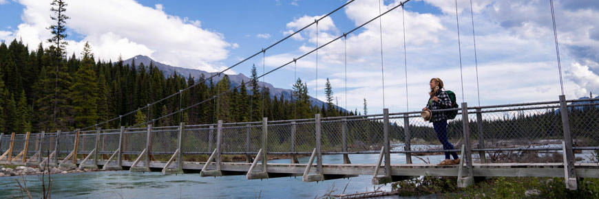
Points of interest
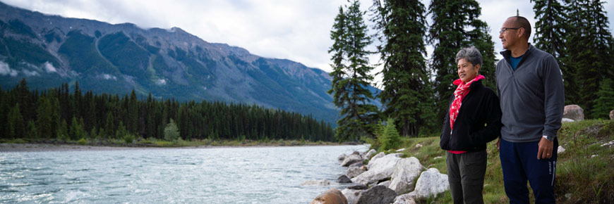
Kootenay National Park
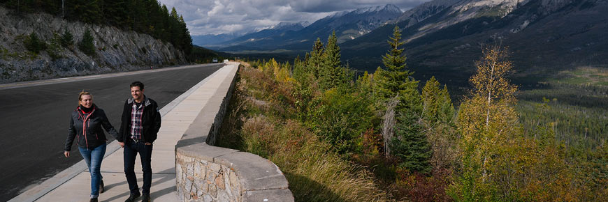
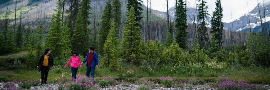
Spend some time in Kootenay National Park and experience a place rich in variety – from hiking glacier-clad peaks along the Continental Divide to finding cactus on the dry grassy slopes of the Columbia Valley. Take a break along the way and enjoy something new around every curve.
Download the Parks Canada app from the App Store or Google Play. Enjoy the new Kootenay guided audio tour as you travel one of BC’s most scenic highways.
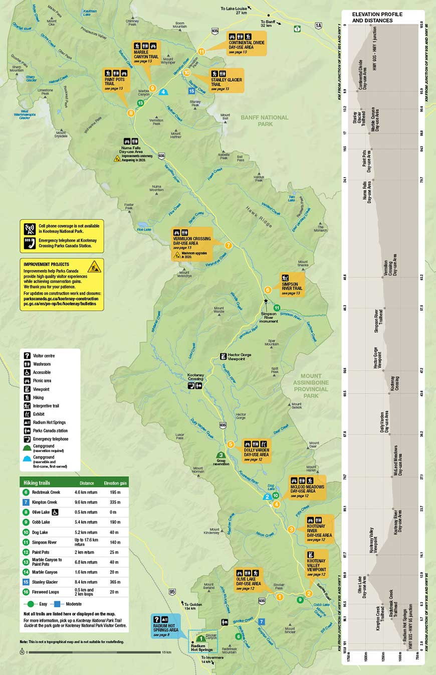
Map: Map of Kootenay National Park
-
Olive Lake day-use area
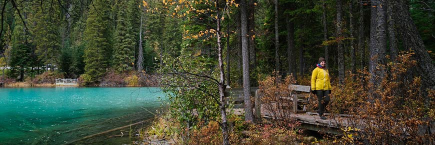
A forested picnic area at the summit of Sinclair Pass next to a bright emerald green lake.
Day-use facilities

Olive Lake trail
0.5 km return, no elevation gain.
Look for brook trout as you walk the boardwalk around the lake. -
Kootenay Valley viewpoint
Enjoy breathtaking views of the Mitchell and Vermilion mountain ranges.
Day-use facilities
Cobb Lake trail
5.4 km return, 190 m elevation gain
Descend to Swede Creek, then continue along to the banks of a quiet lake encircled by forest. -
Kootenay River day-use area
Spread out a picnic blanket or access the river for fishing and watersports.
Day-use facilities
-
McLeod Meadows day-use area
Take advantage of this cool, shaded picnic area on a hot day.
Day-use facilities
5.2 km return, 40 m elevation gain
Cross two bridges over the Kootenay River and meander through old-growth forest. End at a lake with a beautiful backdrop of mountains. -
Dolly Varden day-use area
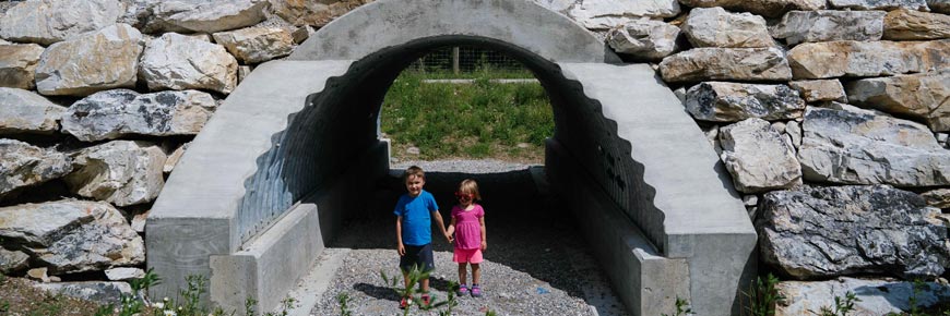
Learn about wildlife fences and underpasses with self-guided activities. Fun for kids!
Day-use facilities

-
Simpson River trail
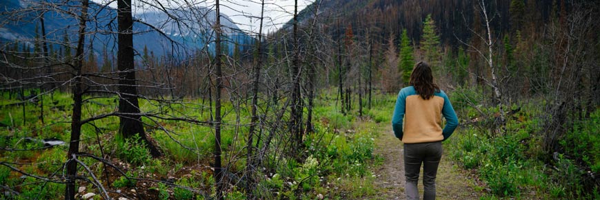
Walk through a valley marked by fire.
Trail
Self-guiding interpretive trailThere are interpretive signs along the first 1.5 km of the Simpson River Trail. Learn about incredible forces of nature: lightning, wildfire, regeneration and succession. The entire family will enjoy the interactive, self-guided activities. Beyond the signs, the trail continues another 7.3 km to the park boundary.
-
Vermilion Crossing day-use area
Enjoy a picnic lunch and explore along the scenic banks of the Vermilion River.
Day-use facilities
-
Paint Pots trail
An easy walk takes you to three iron-rich mineral springs that stain the surrounding earth a vibrant ochre colour.
Trail
Day-use facilities
-
Numa Falls day-use area
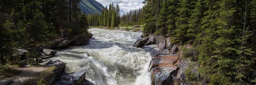
Feel the cool breath of the Vermilion River as it tumbles over Numa Falls.
Day-use facilities
Numa Creek trail remains closed for trail and bridge repair work. Access to the Rockwall backpacking route from Numa Falls is expected to be restored in summer 2021. Check the trail report for current conditions.
-
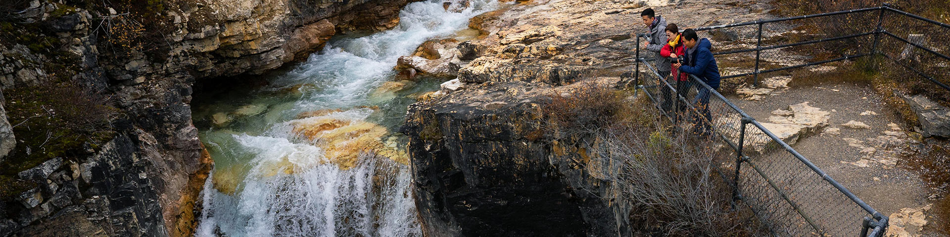
Marble Canyon trail
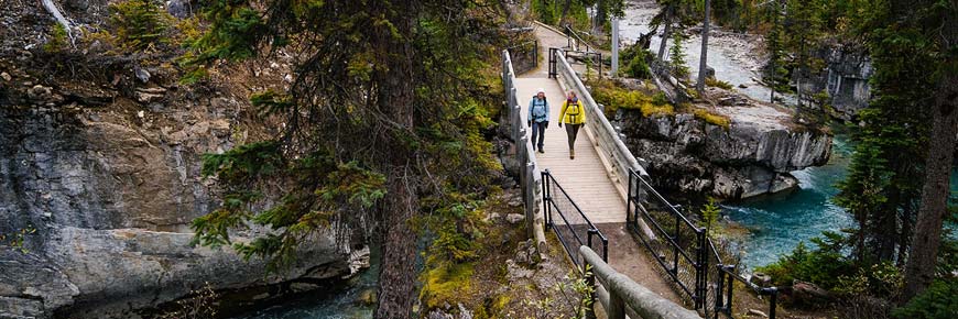
Admire the shapes and sounds of carved chasms as you hike along the trail. Relax in the Red Chairs at the end.
Trail
Day-use facilities
-
Stanley Glacier trail
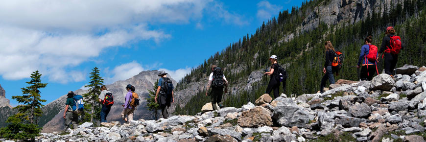
Hike up to a stunning alpine basin and watch glacier meltwater tumble down massive rock walls.
Trail
Guided hike
Visit reservation.pc.gc.ca to book your spot on a guided hike of the Stanley Glacier Trail. Your Parks Canada guide will reveal secrets in the surrounding landscape and help you find fossils over 500 million years old.
-
Continental Divide day-use area
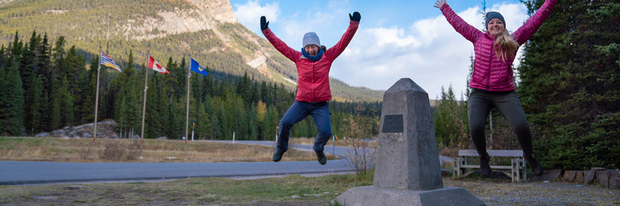
Stand on the dividing line between the Pacific and Atlantic watersheds.
Day-use facilities
Fireweed Loops trail0.5 and 2 km loops, 20 m elevation gain
Walk through a quiet, shaded forest. Interpretive signs along the shorter loop tell the story of regeneration after the wildfire of 1968.


- Date modified :